Heartbreak Ridge
-
Address
-
Categories
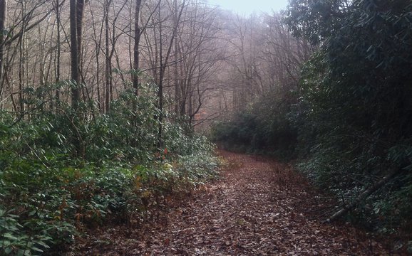
Heartbreak Ridge is a classic Pisgah trail, descending from the Parkway near Mt Mitchell (at 4800ft elev) down to where it intersects with Star Gap. The top of the trail is in a fir/spruce forest, descending down the ridge. At times the trail is narrow and twisty passing though tight tree gaps, at other times the trail is wide open and fast, the overall character of the trail is rooty, narrow and classic Pisgah.
Take Star Gap West to Graphite Rd to head towards Mill Creek Road for Bernard Mountain Trail or Kitsuma and the closest exit to pavement or take Star Gap East to Jarrett Creek Road and then Lower Heartbreak Ridge Trail. While the trail is not the steepest in the area, if you take Lower Heartbreak trail all the way down to the bottom of Copper Ridge (1800ft elev) you will have completed one of the longest near continuous descents on the east cost.
Typically, Heartbreak is ridden as a downhill trail by mountain bike or hike/run both directions. Access is from Blue Ridge Parkway or Old Mitchell Toll Road at the top or from Star Gap trail via Graphite Road or Jarrett Creek Road at the bottom.
Note: Heartbreak is steep and remote. From it’s lower junction with Star Gap you are 1.5 miles from the nearest road or emergency services. There is very little cellular coverage and any search and rescue would take many hours. Plan your trip accordingly. Be prepared with sufficient food, water, layers and let someone know where you’re going and when you plan to check in.
As the name implies, this down hill, four mile bike trail descends approximately 2,000 feet and is a true heart breaker. The trail begins along the top ridge of the Blue Ridge Escarpment, accessed from either Curtis Creek Road or from the Old Toll Road, outside the Ridgecrest Conference center.

Find More MTB and Cycling Attractions
Bad Fork
2940 Ft. /8 Miles. Primitive trail connects Woods Mountain & Armstrong Creek Trails. NC 226-A to Armstrong Fish Hatchery Rd.…
Betsy Ridge
3160 Ft./9 Mile Trail. Black Mountains view, meets Little Buck Creek Trail ending at Woods Mountain Trail. US 221 North,…

North Cove Disc Golf and Leisure Club
North Cove Disc Golf & Social Club is 157 acres of awesome rolling hills situated in a rural valley, framed…
Woods Mountain Trail
Woods Mountain Trail is not for the faint of heart! Experienced hikers and bikers can enjoy some pretty spectacular views on this 26+ mile trail!

Woodlawn Fitness Trail
Fitness Trail consists of 7 stations, two exercises per station on a 1/4 mile jogging path. Additional one mile loop…

Peavine Trail
The Peavine Rail Line, once an active Norfolk Southern Railway line, is included in the company's "rails to trails" program.…

Corpening Memorial YMCA
Plan a visit to Corpening Memorial Ymca in McDowell County, NC. Find visitor details, location information, and nearby things to do.

Greenlee Park
Greenlee Park is the perfect spot to spend the day, with accesses to Lake James for water sports, covered picnic areas, and a 1.1 mile nature trail loop!