Catawba Falls
-
Address
-
Phone
-
Website
-
Categories
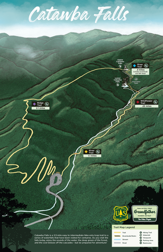
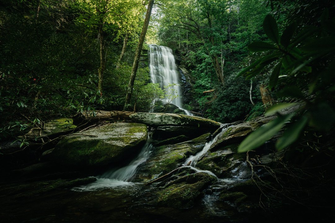
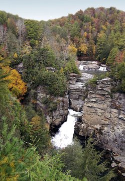
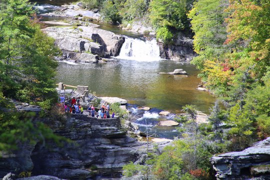
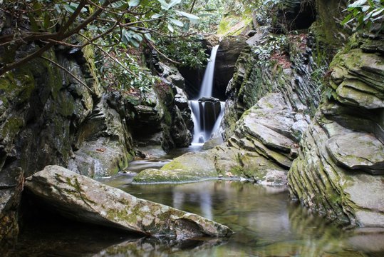
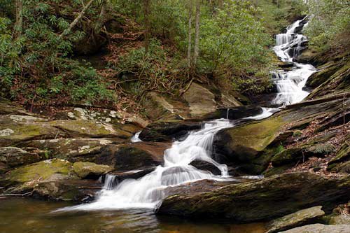
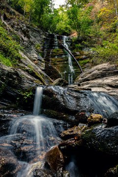
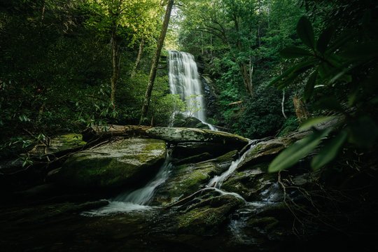
Catawba Falls is the headwaters of the Catawba River and is a multi-cascade waterfall which includes the "Lower Falls" and the "Upper Falls". Begin your hike from the parking lot to the 205 foot cascading Lower Falls along the River Trail for approximately 1.5 miles. The section between the parking lot and the Lower Falls is rated as easy. Continue your hike to the 80 foot Upper Falls by climbing the 580 stairs which includes three overlooks and a 60-foot observation tower. The trail from the Lower Falls to the Upper Falls is rated as intermediate and is equivalent to climbing a 30 story building. Hikers with pre-existing medical conditions should use caution. Complete the 3.5 mile loop along the Ridge Trail, which will take you back to the parking lot.
Directions:
I-40 westbound to Exit 73, turn left, travel under interstate and take an immediate right turn. At fork, bear left onto Catawba River Road and go 3 miles to parking lot. Public access available from dawn to dusk only, dogs MUST be on lead no longer than 6 ft.
I-40 eastbound to Exit 73, turn right onto Catawba River Road. If you reach the stop sign intersecting Bat Cave Road/McDonald's is on the right, you passed Catawba River Road. Turn around and follow westbound directions, above.
Watch our updated Grand Reopening Video of Catawba Falls below:
UPDATE: Free parking is limited at Catawba Falls. If the parking lot is full, please do not park in front of the gate, in a manner that obstructs other visitors, or along the sides of the road. Catawba River Road includes private residences, you will be towed if you park along Catawba River Road. Please check along Catawba River Road for posted paid parking locations.
Use the following printable map or feel free to use our AllTrails map below this post to prepare for your hike!
